
Autodesk AutoCAD Map 3D Training Course
- 16-Hours (8 x 2-Hour Sessions) Training
- Delivered remotely over MS Teams
- Sessions are recorded and download links are provided after each session for your future use and reference.
- Pricing is based on 1-3 people. Additional people are at an additional cost of $1,100 per person.
- Volume Discounts apply for 5+ people.
- Training is usually broken up into 2 or 4-hour sessions in the morning and flexible (i.e. consecutive or Monday, Wednesday, Friday, etc.)
- Training sessions can start within 14 days of booking
- Courses are private and topics can be customised to suit
- Includes Certificate of Completion
- Training manuals are an additional $145 Ex. GST per digital manual
Download PDF Brochure
Autodesk AutoCAD Map 3D Training Course Introduction - Learn CAD/GIS Fundamentals
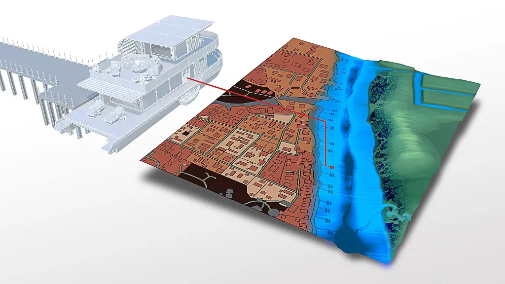
The AutoCAD Map 3D Training Course provides practical instructor led training for GIS professionals, surveyors, civil designers, utility managers, infrastructure consultants, and CAD users wanting to integrate mapping and geospatial data workflows into Autodesk AutoCAD Map 3D. This AutoCAD Map GIS Course focuses on spatial data management, coordinate systems, topology, thematic mapping, data connectivity, and GIS integration workflows used across infrastructure, utilities, local government, environmental, and land development industries.
Delivered through live remote sessions over Microsoft Teams, this AutoCAD Map 3D Online Course provides structured hands on learning through practical project based exercises and instructor led demonstrations. Participants learn how to connect to GIS data sources, manage spatial information, create thematic maps, perform topology analysis, and integrate CAD and GIS data within a single environment.
Whether you are searching for AutoCAD Map 3D Training, an AutoCAD Map 3D Course, or an AutoCAD Map GIS Course aligned with real world geospatial and infrastructure workflows, this training provides practical learning focused on improving mapping accuracy, data management, and GIS integration capabilities.
Map 3D Course - Learn AutoCAD Geospatial Data Management
Develop practical GIS and mapping skills using Autodesk AutoCAD Map 3D through structured training focused on geospatial data management, mapping workflows, coordinate systems, and GIS integration.
What You'll Learn - GIS, Topology, Surveying and Coordinate Mapping for Infrastructure and Network Utilities
- Understanding AutoCAD Map 3D workflows
- Working with coordinate systems and projections
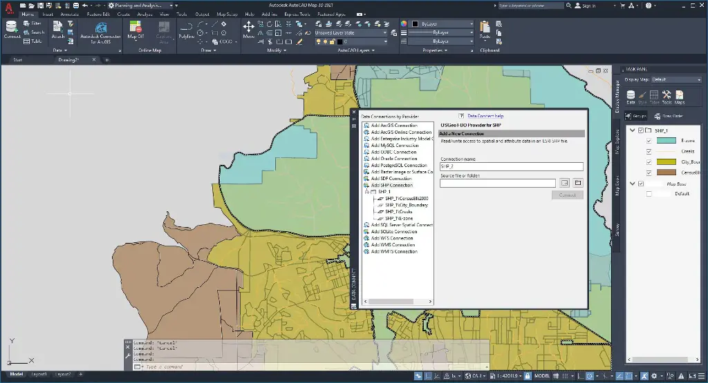
- Connecting to GIS and database data sources
- Managing spatial data and object classification
- Creating and editing geospatial features
- Working with topology and spatial relationships
- Creating thematic maps and visualisations
- Performing GIS analysis workflows
- Managing raster and vector datasets
- Working with industry models and asset information
- Integrating CAD and GIS environments
- Publishing maps and reports
- Improving infrastructure and asset management workflows
- Applying GIS best practices within AutoCAD Map 3D
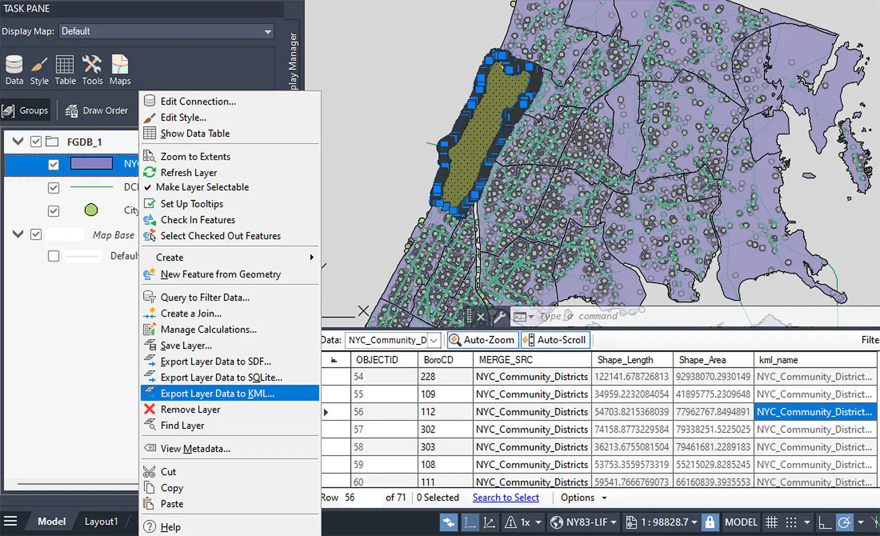
Autodesk AutoCAD Map 3D Training Course Contents
Chapter 1: Getting Started
• AutoCAD Map 3D User Interface
Chapter 2: Creating and Editing Geometry
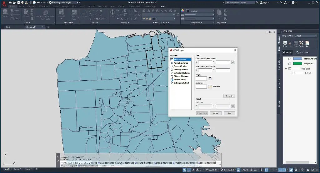
• Using Coordinate Geometry
• Performing Drawing Cleanup
Chapter 3: Drawing-Based Attribute Data
• Creating and Attaching Object Data
• Editing and Managing Object Data
• Creating Dynamic Annotation
• Connecting to a Database
• Defining a Link Template and Linking Records to Objects
• Using Database Information in a Drawing
Chapter 4: Object Classification
• Setting Up Object Classifications
• Classify, Select, and Create Classified Objects
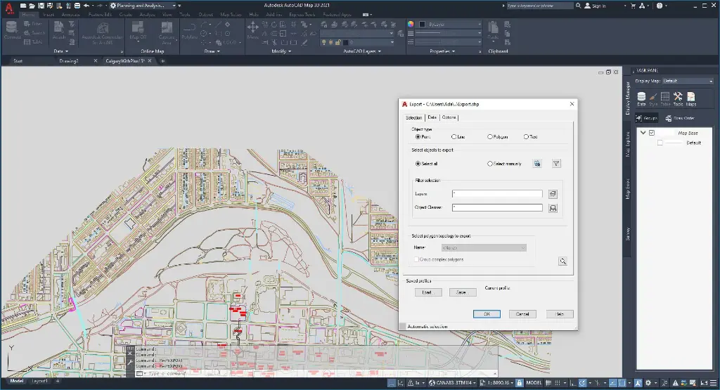
Chapter 5: Importing and Exporting Data
• Importing and Exporting Data
Chapter 6: Establishing a Geospatial Environment
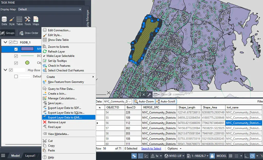
• Connecting to a Feature Source
• Using Coordinate Systems
• Working with Point Data
• Query Features on Connect
Chapter 7: Editing Features
• Editing Feature Attributes and Geometry
• Moving Data Between DWG Objects and FDO Features
• Merging and Splitting Features
• Enhanced Data Exchange
Chapter 8: Raster Images
• Inserting Raster Images
• Modifying Inserted Raster Image Properties and Behavior
• Connecting to Raster Images
• Working with DEM Files
Chapter 9: Source Drawings
• Attaching Source Drawings
• Working with Coordinate Systems
Chapter 10: Source Drawing Queries
• Define Property and Location Queries
• Altering Properties During Queries
• Using the Query Library
• Save Back to Queried Drawings
Chapter 11: Stylising
• About the Display Manager
• Stylizing FDO Features
Chapter 12: Plotting Maps
• Prepare a Layout Sheet for Review
• Map Books
Chapter 13: Survey Data
• Creating Survey Data Stores
• Working with Survey Data Stores
Chapter 14: Industry Models
• Open, Edit, and Create an Industry Model
Who Should Attend the Autodesk AutoCAD Map 3D GIS Training Course
This AutoCAD Map 3D Course is suitable for:
- GIS professionals
- Surveyors
- Civil engineers
- Civil designers
- Infrastructure consultants
- Utility network managers
- Asset management teams
- Government and local council staff
- Existing AutoCAD users wanting GIS capabilities
This AutoCAD Map 3D Online Course is ideal for professionals wanting practical GIS mapping, geospatial analysis, and infrastructure data management skills through structured remote training sessions.
Autodesk AutoCAD Map 3D Training Prerequisites
Participants attending this AutoCAD Map 3D Training course should have a basic understanding of AutoCAD workflows and general CAD concepts. Previous exposure to GIS, mapping, surveying, or infrastructure projects is beneficial but not essential. Access to Autodesk AutoCAD Map 3D software and a stable internet connection is required for participation in remote training sessions.
Enrol Now in the Autodesk AutoCAD Map 3D Remote Training
Start your journey in digital GIS CAD design in this AutoCAD Map 3D Online Course. Contact Design Consulting today to book or learn more about our online and face to face training options.
Ready to Design with Precision and Speed?
Transform the way you create, visualise, simulate, and deliver designs, reports and drawings. Contact us today to explore training, services and subscription options or request a demo.
Fill out the contact form below or contact us on 1800 514 490, info@designconsulting.com.au or by live chat